The geology of the Masai Mara is fascinating and complex, shaped by millions of years of geological processes. The landscape is part of the larger East African Rift System, a tectonically active zone that has helped create the region’s dramatic features, including steep escarpments, rolling plains, and deep river valleys.
Masai Mara Geological Features

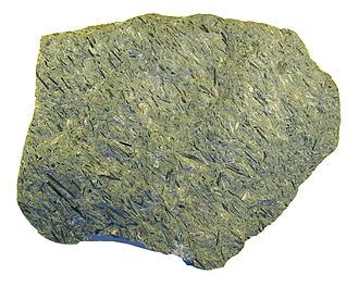
At the heart of the Masai Mara’s geological structure are Precambrian rocks, some of the oldest on Earth, dating back over 600 million years. These rocks form the foundation of the land but are mostly buried beneath newer layers of volcanic rock and sediment. During the more recent Neogene period, volcanic activity played a big role in shaping the Mara. Volcanic rocks, especially trachytic phonolite, are found in hills and the famous Oloololo Escarpment, which rises dramatically on the western edge of the reserve.
In addition to volcanic rocks, the Masai Mara features sedimentary layers, especially near rivers and marshes, where softer rocks and soils have been deposited over time. This combination of volcanic, metamorphic, and sedimentary rocks creates a diverse landscape with various soil types. Some areas, especially those with black cotton soils rich in clay, are extremely fertile and support the vast grasslands that are home to the region’s famous wildlife.

The Mara River Basin is another important geological feature. The river and its tributaries have carved out valleys and gorges, with the water helping to sustain the region’s wetlands. These wetlands, like the Musiara Marsh, are key habitats for wildlife, formed in part by the natural tectonic movements that create dips and valleys where water collects.
Tectonic Activity in the Masai Mara
The Masai Mara is located within the East African Rift System, one of the most tectonically active regions on the planet. Tectonic activity refers to the movement of Earth’s crust, which can cause land to uplift, crack, or even sink over time. In the Mara, this activity has shaped much of the landscape, particularly through the formation of features like the Oloololo Escarpment. This escarpment, which runs along the western edge of the reserve, is the result of faulting, where sections of the Earth’s crust move along cracks or fault lines. Over millions of years, this movement caused the land to rise on one side of the fault, creating the steep cliffs and highlands seen today.
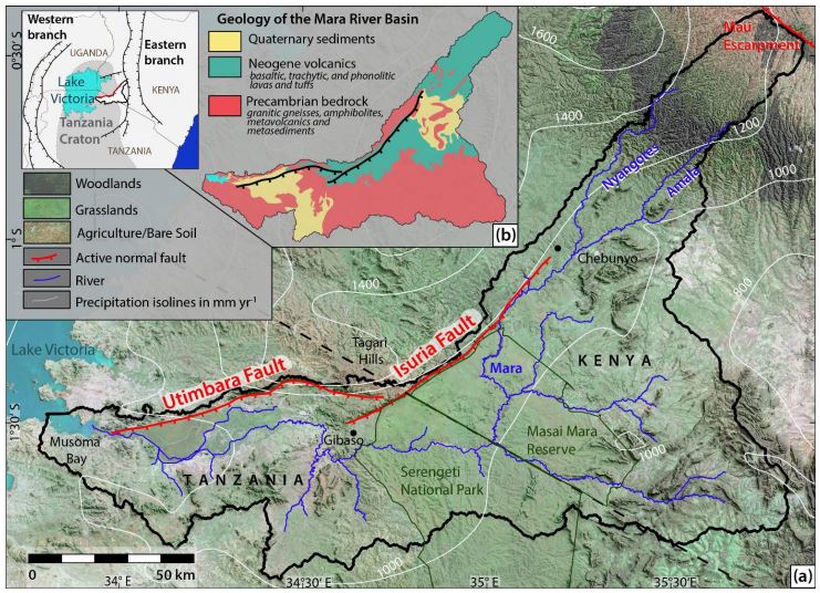
Looking specifically at Mara River basin,it features a diverse geological landscape, located at the northeastern edge of the Tanzania Craton as noted in this 2022 Report. The oldest rocks are Archean granitic gneisses and amphibolites, prominent in the basin’s center. The west is dominated by Precambrian metasediments and meta-volcanics of the Nyanzian-Kavirondian Orogenic Belt, known for its mineral deposits. Overlying these ancient formations are Neogene and recent basalt, trachyte, and phonolite lavas and tuffs in the north and central areas, extending over features like the Isuria and Utimbara escarpments. In the southwest and northeast, Quaternary sediments and soils cover the older rock layers, contributing to the region’s environmental diversity and agricultural potential.

The tectonic uplift also created the gently rolling hills and plains that are characteristic of the Masai Mara. This uplift exposed ancient rocks and caused rivers to carve deep valleys and gorges. In addition to shaping the terrain, tectonic fault lines have influenced water flow, helping to create the complex network of rivers and wetlands that are vital to the region’s ecosystem.
Soil and Erosion in the Masai Mara
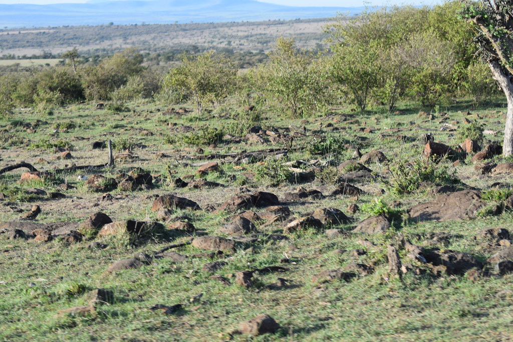
The soils of the Masai Mara are a mix of volcanic, sedimentary, and metamorphic origins, and they vary significantly across the landscape. In areas where ancient volcanic activity occurred, such as near the Oloololo Escarpment, the soils are often rich in minerals and nutrients. These volcanic soils tend to be more fertile, supporting the vast grasslands that are essential for the region’s wildlife.
In contrast, other parts of the Mara have sandy soils or clay-rich black cotton soils, which hold more moisture but can become difficult to navigate during the rainy season. The black cotton soils are common in the flat plains and are known for their stickiness when wet, often causing vehicles and animals to get stuck.
Erosion is a significant factor in the region’s geology. Water, wind, and even the movement of animals constantly shape the landscape. During the rainy season, heavy downpours cause rapid erosion in areas with loose soil, especially near riverbanks and on the slopes of the escarpment. Over time, this erosion has carved out valleys and has led to the creation of unique geological formations such as gorges and gullies.
Geology of the Mara River and Wetlands
The Mara River is one of the most important geological and ecological features of the Masai Mara. Flowing from the Mau Escarpment through the plains of the Mara and into Tanzania’s Serengeti, the river is responsible for shaping much of the landscape. The river cuts through various geological layers, from ancient Precambrian rocks to more recent volcanic deposits, creating deep valleys and floodplains.
The wetlands of the Masai Mara, such as the Musiara Marsh, are closely linked to the region’s tectonic movements. These wetlands form in low-lying areas where water collects, either from rainfall or river overflow. The marshes are sustained by the water flow from the Mara River and its tributaries, which are controlled by the area’s geological features like the escarpments and fault lines.
These wetlands are incredibly important for maintaining the Mara’s biodiversity, acting as water sources for animals during dry periods. The geological features that help form these wetlands are also responsible for maintaining their water levels, as tectonic activity creates basins where water can accumulate.
Geology and Wildlife Interaction
The unique geological features of the Masai Mara play a crucial role in supporting the region’s rich biodiversity. The varied soils, resulting from different rock formations and erosion patterns, create different types of vegetation, from the grassy plains to the wooded areas near rivers and wetlands. These diverse habitats support a wide range of species, including the herbivores that drive the famous Great Migration.
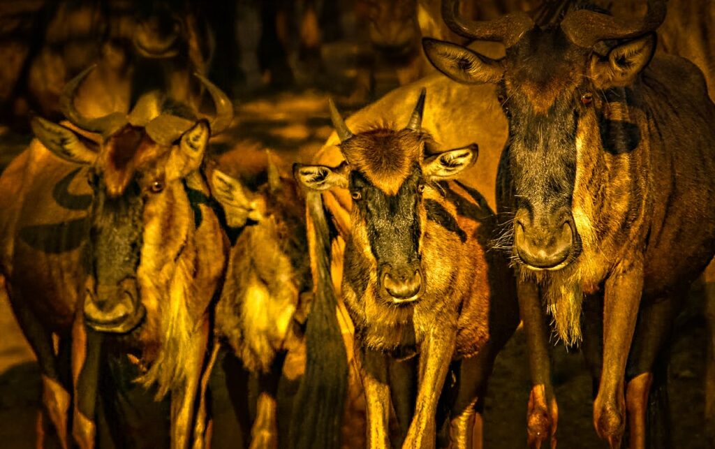
The rock formations and escarpments provide shelter and nesting sites for birds, while the fertile soils support the grasses that sustain large herds of wildebeest, zebras, and antelope. The Mara’s geological diversity directly influences the distribution of animals, with certain species preferring the grassy plains, while others are found near the rivers and woodlands.


